
More efficient services.
Closer to residents.
From infrastructure and transport to communication with residents. Information becomes valuable when it leads to action.
View infrastructure areas


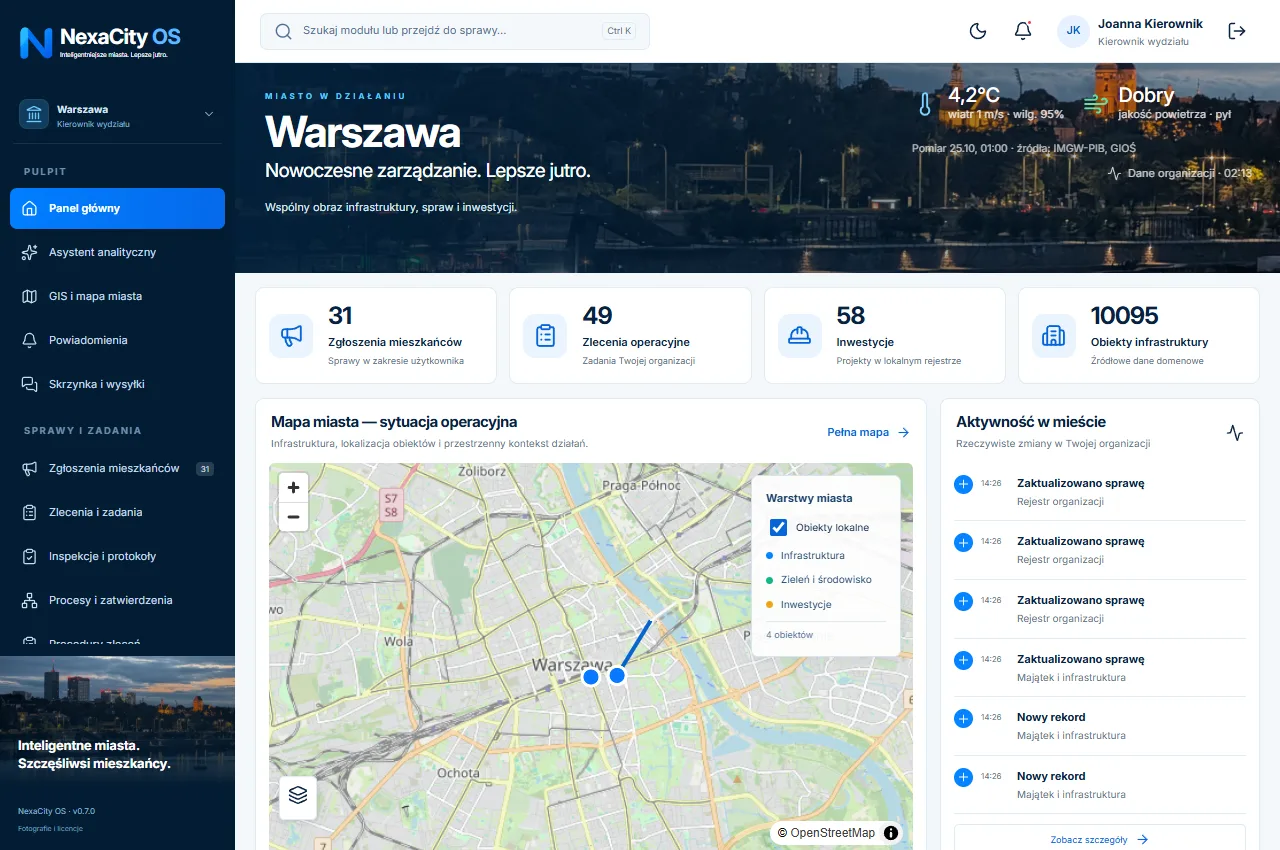
An integrated platform for managing cities, infrastructure and resident services. People, data and action in one shared perspective.
We agree the implementation scope with the local authority's team. Integrations and formal procedures undergo separate acceptance.
Explore the implementation processWe map the authority's roles, processes, data and existing systems.
We agree the modules, permissions and data migration approach.
The team runs acceptance scenarios using agreed data.
We train users and expand the scope according to the plan.
Reviews come from the shared LifeNexa CORE system. A verified email, active licence and product sign-in are required. Every review is moderated, including critical reviews.
Loading reviews…
NexaCity connects people, data and processes to help local authorities work more efficiently and closer to residents.
Operations and infrastructure map · Deadlines and cases needing attention
PostGIS spatial database · Validated GeoJSON import
Road sections, surfaces and lighting points · Scheduled inspections
Categories and location · Photos and private history
Land inventory · Care schedules
Project portfolio · Planned, committed and confirmed budget
Limits and available budget · Two-person approval rule
List and kanban · Saved views
Campaigns and schedule · Resident proposals
Draft, review and publication · Authorised approvals
Overdue reports and work orders (SLA) · Projects delayed against schedule
Type, managing unit and capacity · Opening hours and resident contact information
Register of lines and operators · Condition of stops and shelters
Route standards I–VI · Roads, pavements, paths, stops and car parks
Incidents and faults with threat levels · Duty schedules and critical contacts
Publication only after the administrator's decision · Hide groups with fewer than 5 records
The map, asset, responsible person and case history. Every view leads to information that supports your next action.
Reports, assets and projects on the map.
Work order, completion evidence and independent approval.
Permissions tailored to the role and department.
Change history and edited public content.
The resident identifies the problem and location.
The operator checks scope and assigns a department.
The staff member records the work performed.
A different person verifies the inspection report and accepts the work.
The resident sees the status and resolution.
Your city is closer.

Green neighbourhood space
Field work plan.
City centre area
Open work order →Before · After · Evidence
A responsive portal and mobile applications for residents, officials and field staff. Clear case views and tools tailored to each role.
Checking pricing source… Implementation and integrations require a separate quote. Amounts are in PLN; tax terms are confirmed in the agreement. Proposals are not binding offers.
Tell us about your authority's needs. We will select the modules, implementation process and required integrations.